Isle of Skye is one of the popular destinations for tourists in Scotland for its natural beauty and its incredible geological landmarks. However, many of them are unaware of this fascinating natural wonder hidden in plain sight. 170 million years ago Isle of Skye’s coastline was the stomping ground of many different species of dinosaurs. I was so surprised when I learnt of this! Isle of Skye is 6 hours away from Glasgow. So it meant I’d need at least 4-5 days to fully absorb its beauty. I had a chance this month during a long weekend so off I went hiking on the second largest island in Scotland.
The Plan: Skye Trail
I had heard so much about certain points of interests and through photographs on instagram that I wanted to visit Isle of Skye for quite some time . And now I was aware of this new information about dinosaurs and fossils. So I decided to include both of these aspects in my hiking route. I had four days in hand Friday-Monday. So I worked out a way to autostart my simulations on my work computer so that I’d have some results to process when I’d be back and I set off towards my first destination on Skye: Portree.
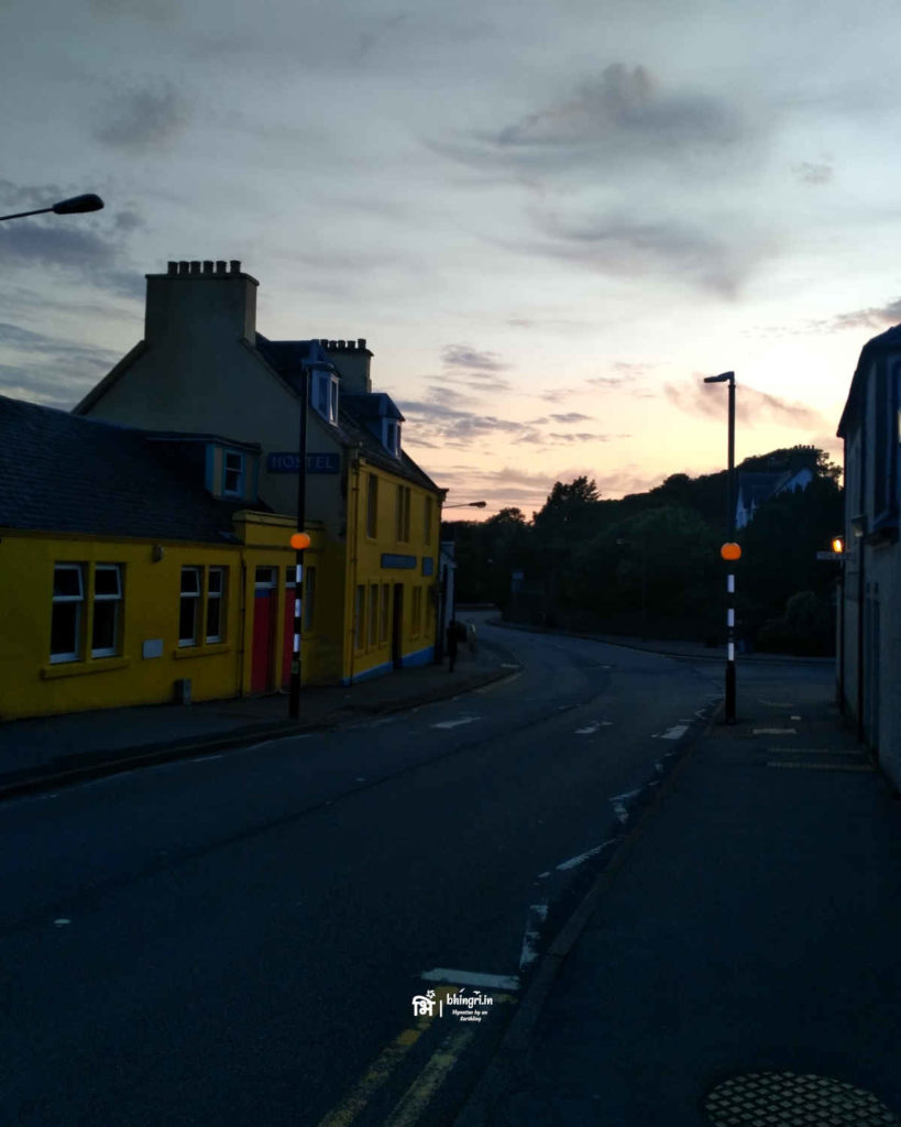
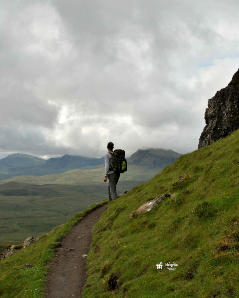
Portree is a cosy little town on Isle of Skye and is often the starting point or resupply point for hikers and visitors. I decided to stay at a hostel in Portree. The next day I’d take a bus to Duntulm, that’s the northern tip of the island and walk my way south on the famous Skye Trail with detours to the coast to see the footprints. Armed with my tent, the sleeping bag, water, the Ordinance Survey map of the island and a spray to keep the midges away I began this adventure next morning.
Dinosaur Stomping Ground
When I first read about it, I had a lot of questions. How do we know these are dinosaur footprints and other fossils? Did the scientists know where to look for or did they just chanced upon these fossils? Is it possible to determine their genealogy just from footprints ? How were the footprints formed in the first place!? Eventually I read more and talked to more people to get answers to many of my questions.
How were dinosaur footprints created?
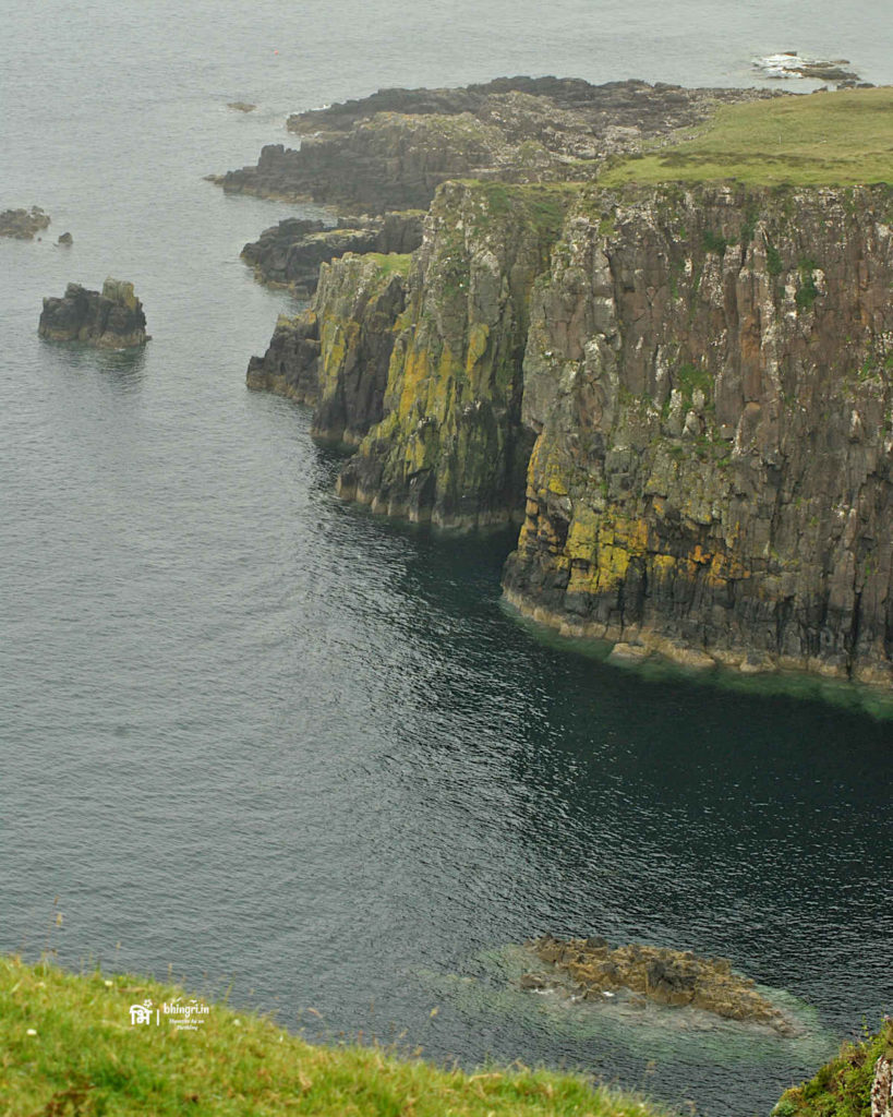
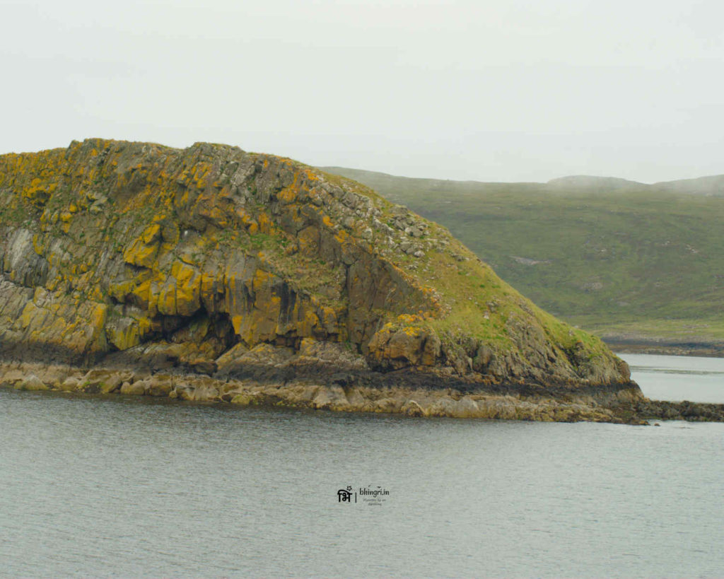
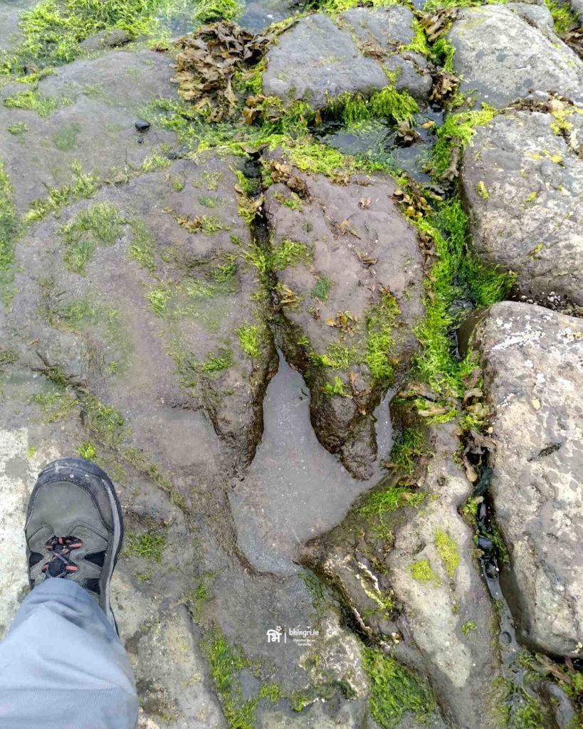
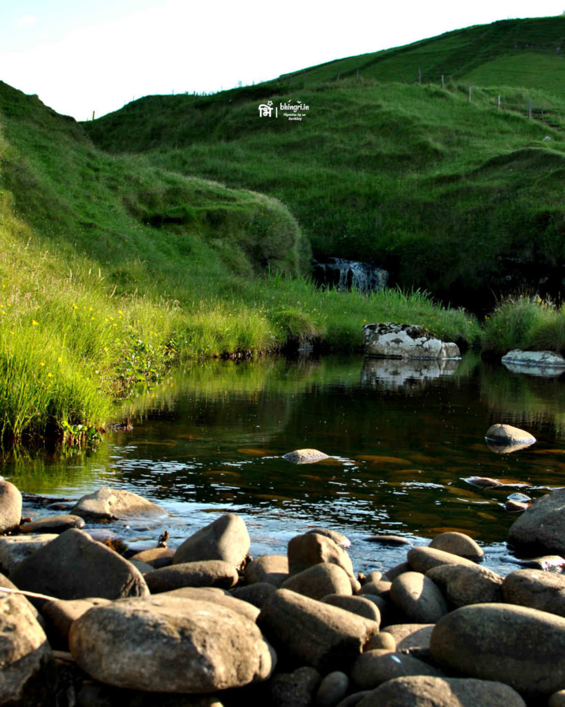
So the theory goes like this: we know fairly well in what era the dinosaurs existed. The rock samples, the geology of the location and consistent patterns of fossils, shapes and sizes helped researchers determine many of the details. However, the most fascinating bit for me was how the footprints were formed. The coastline of Isle of Skye as is seen today, used to be a muddy boggy area of river estuaries. In the swamp the dinosaurs found a lot of food. So when they walked around in the mud, they left behind the footprints. Some of the prominent ones remained untouched and were filled with the silt. Over many centuries, with the effect of the climate the mud and the silt turned into hard rocks in turn preserving these invaluable evidences from the Jurassic era.
A gold mine of Jurassic fossils
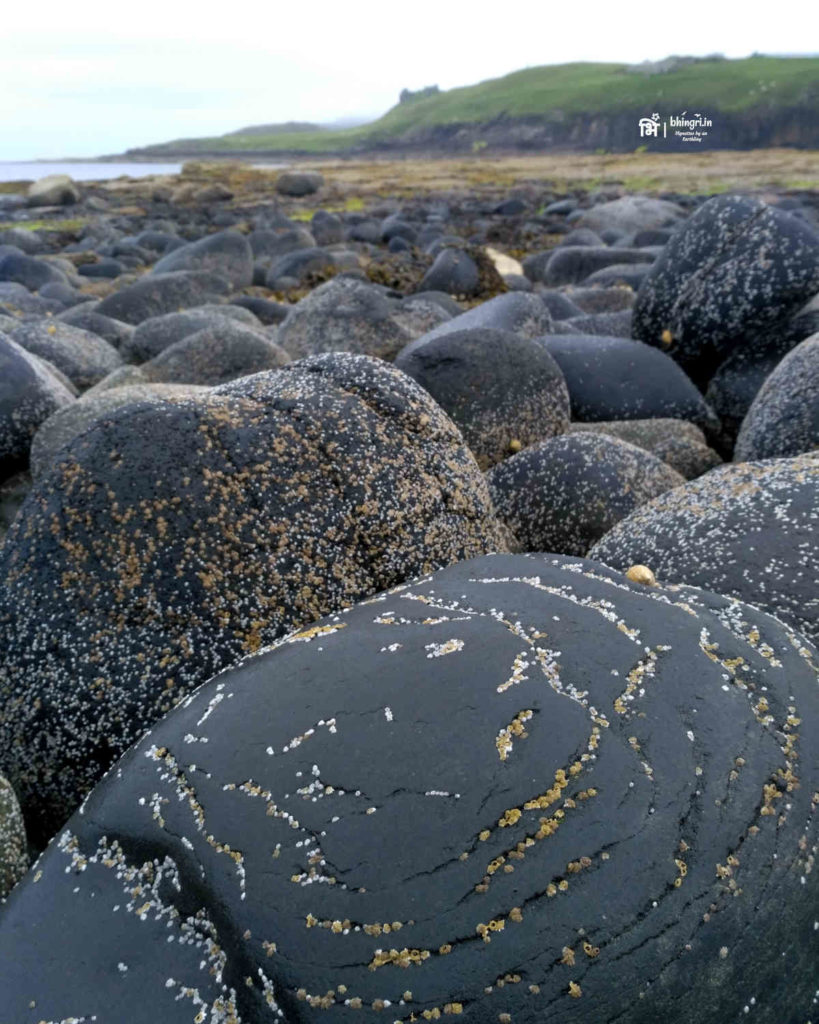
People living on the Isle of Skye have found fossils along the shore since many years. Some of them involve ammonites, bones. So far researchers have identified over 3000 footprints all along the coast of the island. Many new footprint discoveries emerge every year and this is an active research zone for palaeontologist. Most of these footprints belong the some the biggest dinosaurs with huge torso and long necks: the kind we’ve seen in Jurassic Park. One of the best resource for finding information about these is the Staffin Museum. You can see some of these fossils in this museum along with casts of footprints. So visit to this place was definitely on my itinerary.
Tracking the Dinosaur Footprints
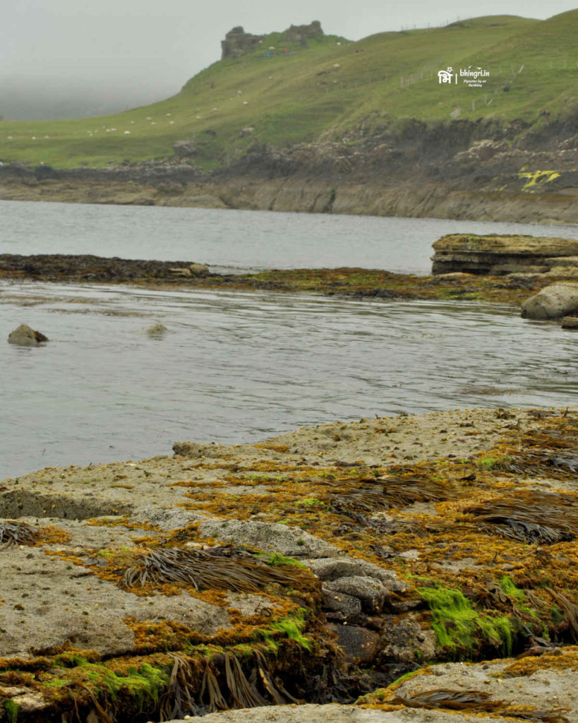
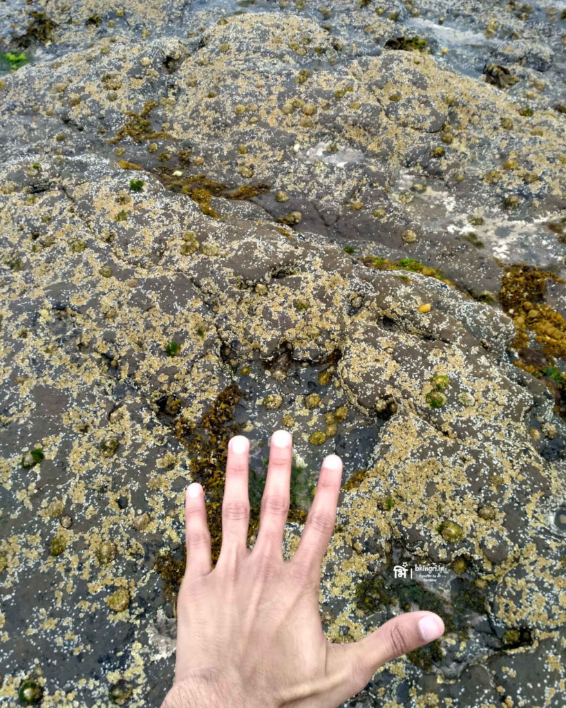
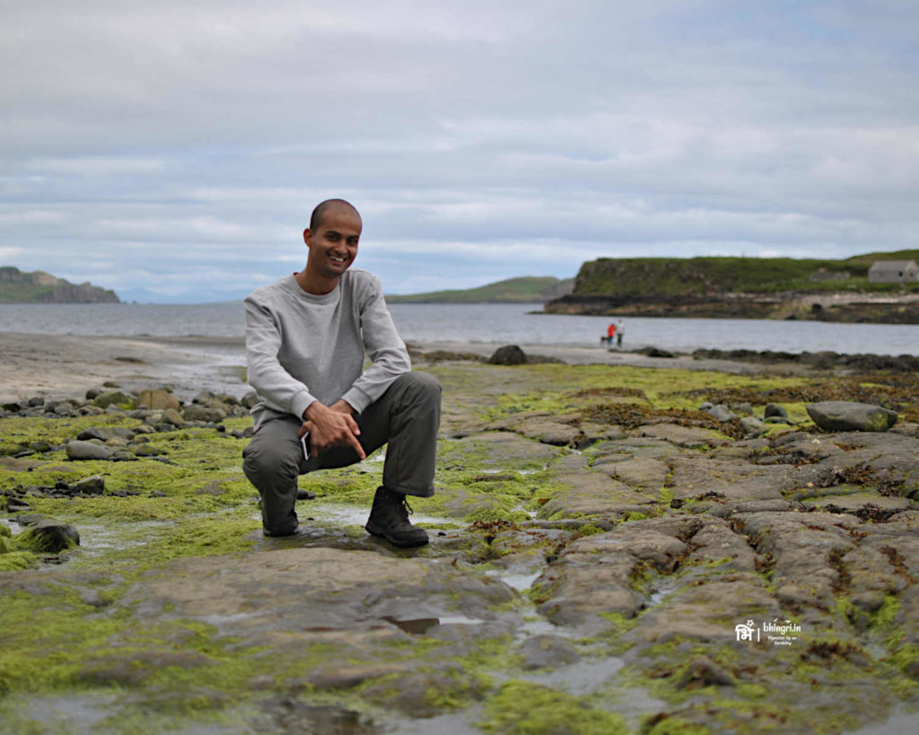
I had three locations marked where I could possibly track down the footprints of the Sauropoda family dinos that are very common here, perhaps some fossils. I was hoping to locate some at least in one of the locations. A month before this, I had also communicated with the palaeontological researchers who were working on some of these sites and I had received some pointers to locate them. I had to make sure I reach these spots during low tide. During high tide, most footprints go under water. The first of these sites was Duntulm.
Day 1: Duntulm
The bus dropped me off near the castle just in time for the low tide. It took me a while to scan the flat rocks but eventually I did find one very distinct Sauropod footprint. It was a thrilling moment to actually see the remnants of a magnificent species that lived on this planet millions of years ago. There were many more nearby but I wasn’t really sure of any of those until I went home and compared them against the published articles. This was definitely a great beginning of my long weekend.
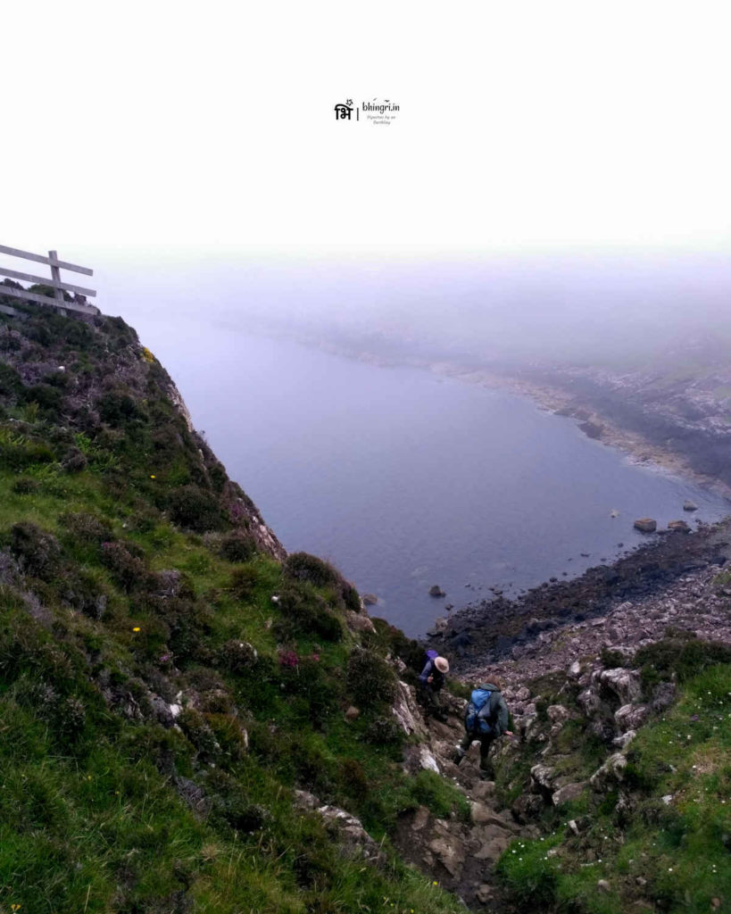
I continued on the Skye trail but now it had started to drizzle. It wasn’t a big issue really but I had to walk for at least 5 more hours. This is when I realised I forgot to carry my rain jacket! What an idiot! I cursed myself but I had no choice. Nonetheless, such dramatic weather is my favourite and I didn’t give my camera any rest.
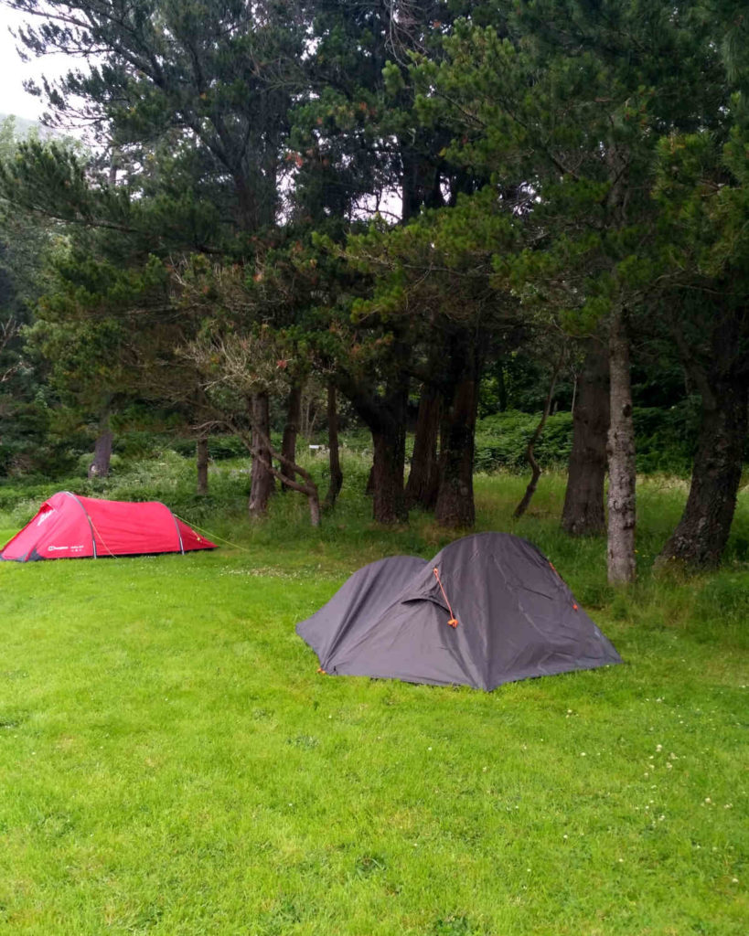
At 5, I was really tired, thirsty and drenched in rain. I needed to stop and camp somewhere. I made a wise decision to camp near a hostel that allowed me to use their kitchen and shower.
Day 2: Flodigarry to Quiraing to Staffin
The next target was to climb up the picturesque Quiraing range and take a detour towards Staffin beach. The challenge was to do this in under 2 hours so that I can reach Staffin for low tide. I was late to begin my walk and I did manage to climb down in 2 hours but now I only had about 20 minutes to reach Staffin. Thankfully from the foot of Quiraing trail, I managed to get a lift to my destination!
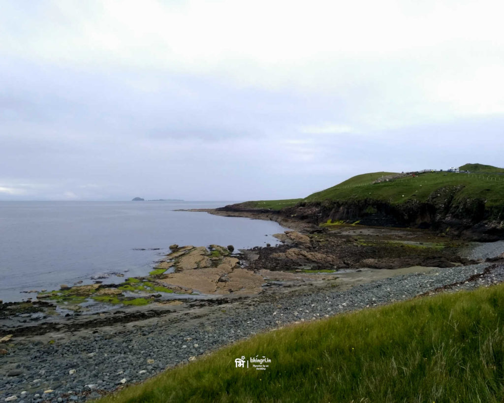
Staffin is a little coastal town on the island and the footprints on this beach are very popular. Expectedly, there were many tourists here unlike Duntulm, looking for dino footprints. So these ones were easier to locate. Unfortunately I did not have a lot of time to spend here.
One of the most intriguing places nearby is the Staffin museum. It’s a tiny but dedicated museum for fossils and footprints found on the Isle of Skye since many many years. The curator was very helpful and knowledgeable person and he helped me with some more guidelines to track down footprints at the third location: Rubha nam Brathairean (Brothers’ Point).
Day 3: The Best of Isle of Skye
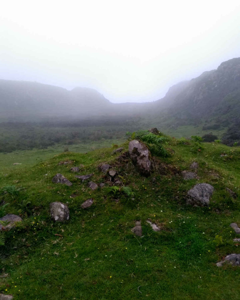
This new location has not been on the tourist map for dino footprints because the findings are relatively new. Just last year, researchers at University of Edinburgh found some new footprints. The work on some of them is still on. These were the most difficult tracks to spot but I did manage to find some. However, since the research is ongoing, I promised to not publish any of those photographs.
I was very happy having found something at all three spots but now I needed to move. This was going to be the toughest of the four days of hike. I needed to cover a lot of ground and get back on the Skye trail.
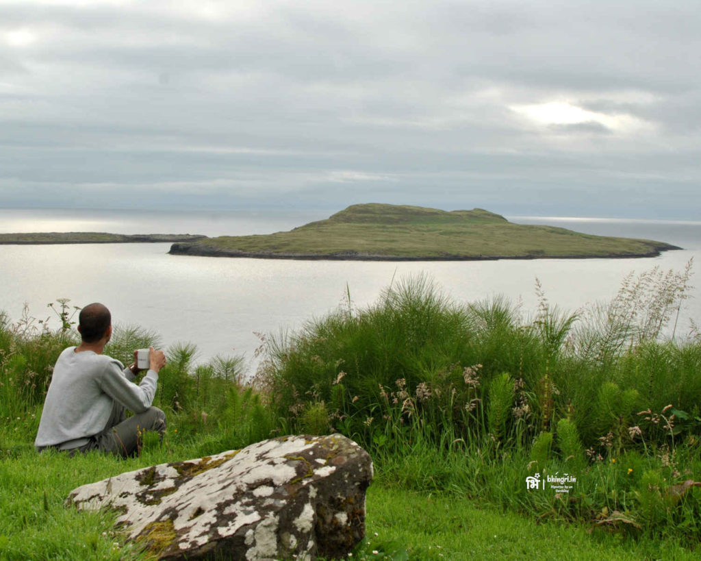
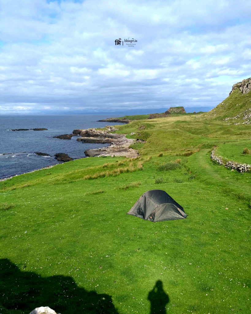
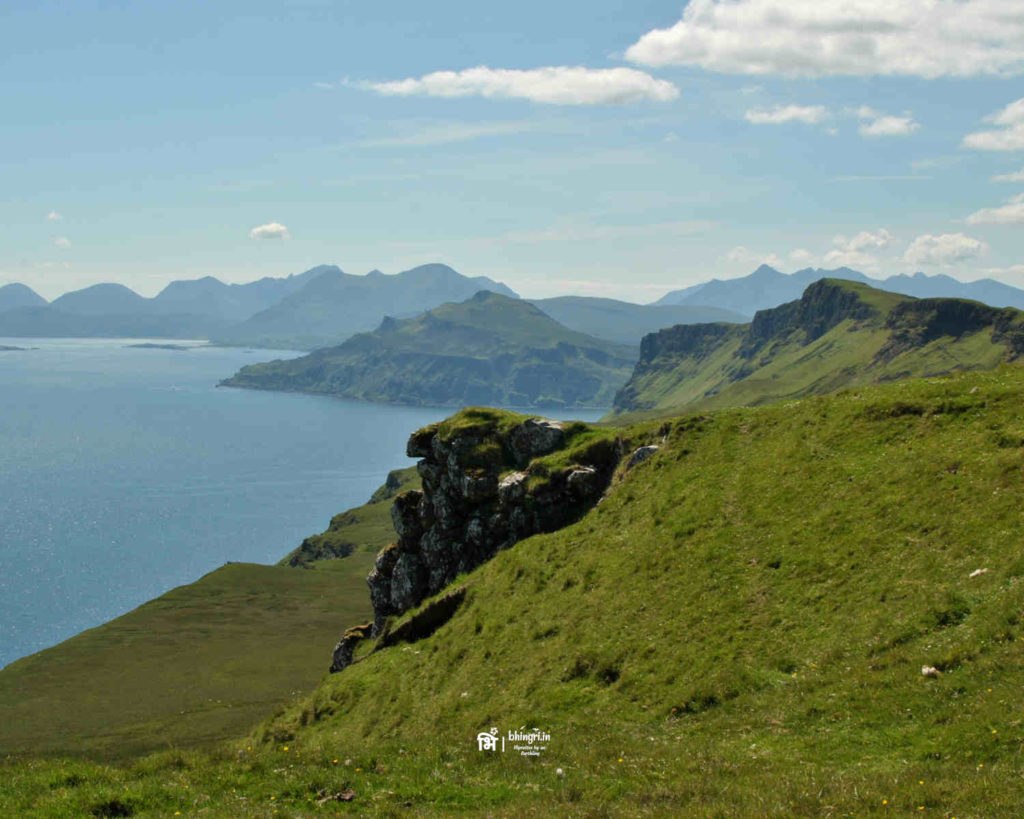
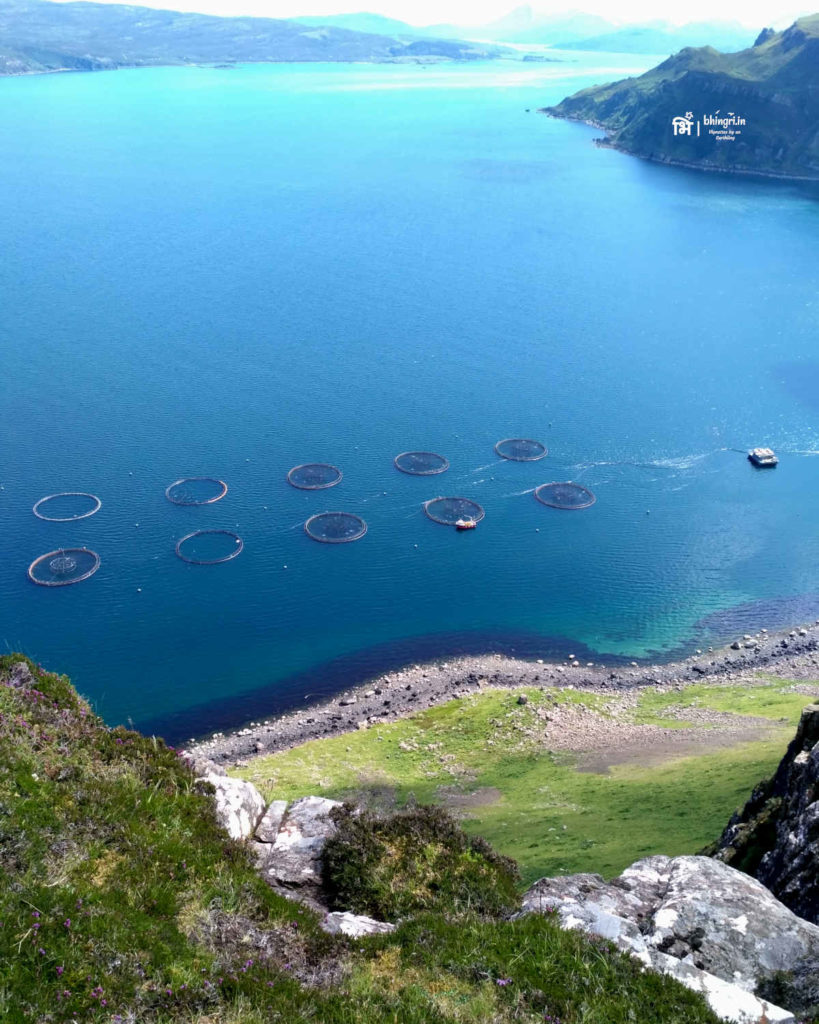
When I travel I don’t mind taking calculated risks. Travelling solo helps many times in this regard. So today’s challenge was to walk twice and this included climbing up a ridge, somewhere…I didn’t know from where yet. Plan was to decide as I moved closer to the ridge. I walked and tried different routes, jumped over fences and streams as the sheep stared at me in horror. Eventually at about 5 pm, I found a way to avoid steep cliffs and climb up for a magnificent view of the peninsula. I think, moments like these is what makes such physical efforts worth it.
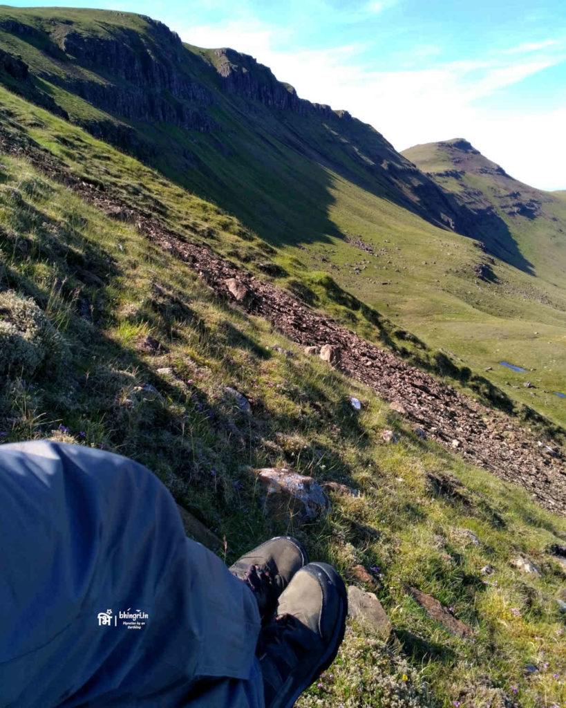
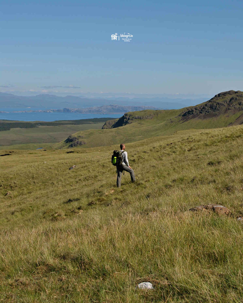
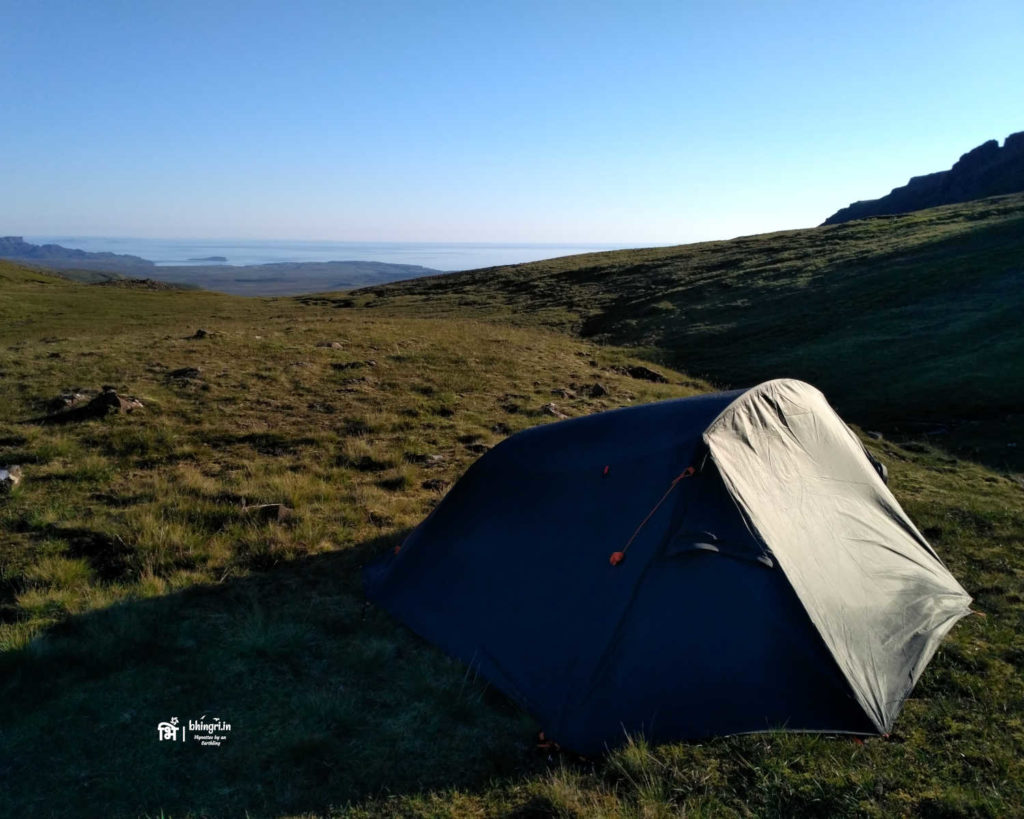
The day was exceptionally bright and visibility was fantastic. There was no wind and I could literally hear the sea far far away! I was tired, my shoes were wet from walking boggy patches, I still had at least a couple more hours to camp for the night but I was happy. I kept pushing myself until I saw someone, anyone. Eventually, when I noticed a tent I let out a sigh of relief. I borrowed some water from my Dutch neighbour and offered him some dates I carried along .
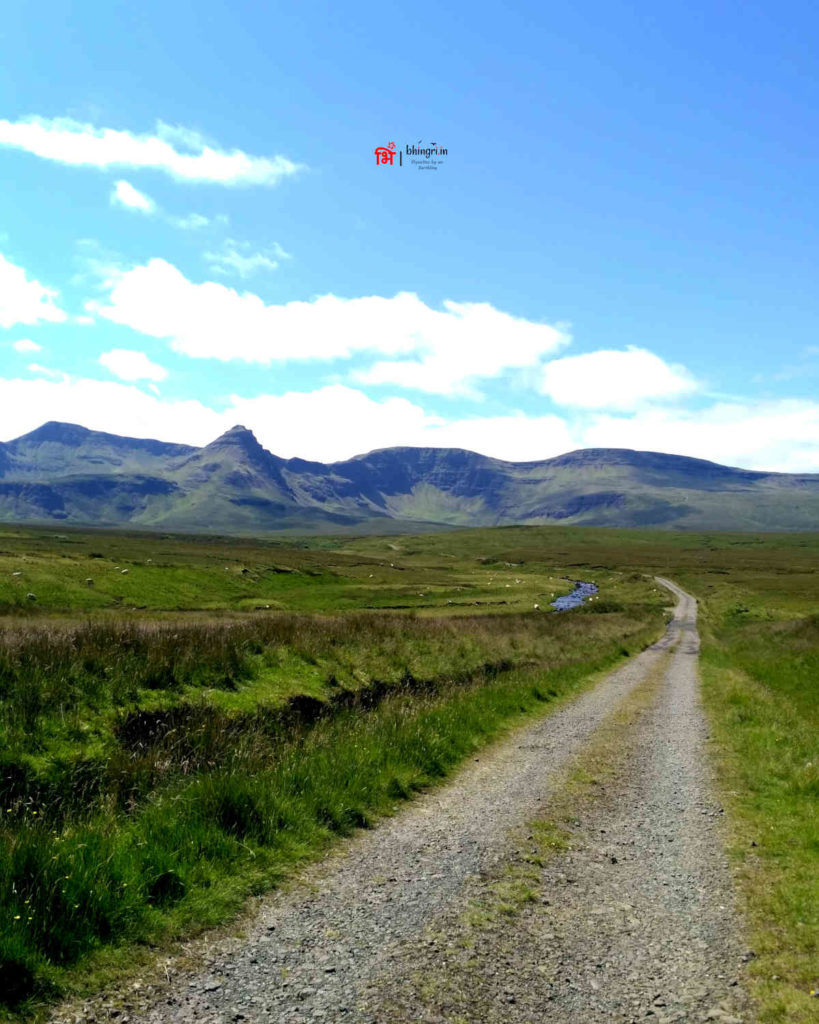
Day 4: Storr to Portree
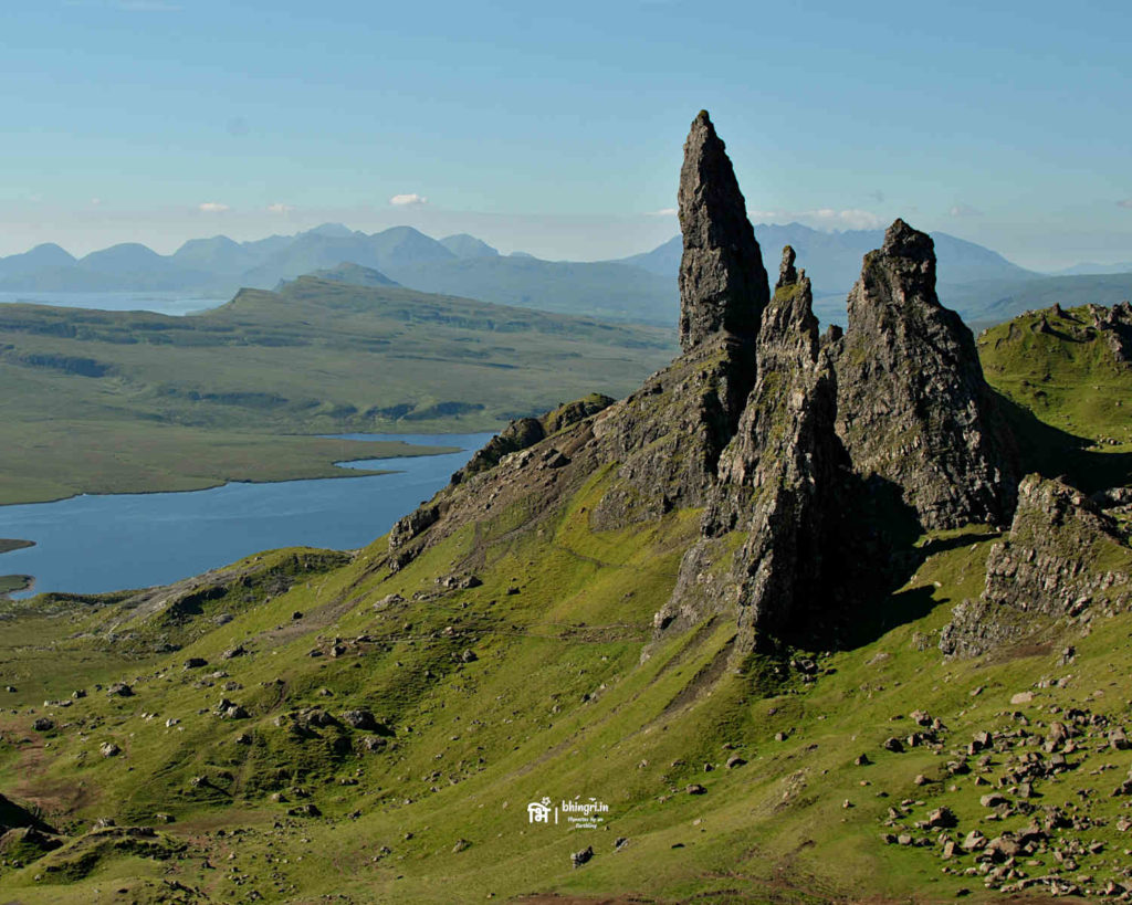
The last day was relatively easy I just had less time on my hands. So I packed up early on and moved towards the Old Man of Storr; an irrationally famous landmark on the island. It was amusing to see throngs of tourists from all over the Europe visiting this natural landmark.
I couldn’t believe my fate that this was a third consecutive day when the weather was so good! I took so many photo stops along the way that in the end I literally had to run to catch my bus and I managed to reach the bus stop just in time. This was a bloody great outing! I smiled all the way back to Glasgow. 🙂

Beautiful!!
It was incredible. The best trip I’ve ever had in Scotland.